Skip to content
Breakaway Springs Park
Menu

Documents

The record, in three chapters

22 public records, organized the way the story unfolds. Each chapter opens with the documents to read first; the rest of the record follows. Open any of them and read it yourself.

Chapter 1 · 1989 – 1995

How it became a park

The deed, the County’s acceptance, three recorded plats, and the City of Austin case files showing the park was a condition of the subdivision.

Start here

October 30 – November 20, 1990

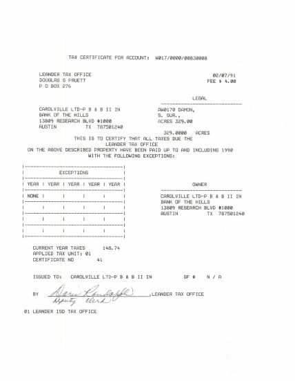
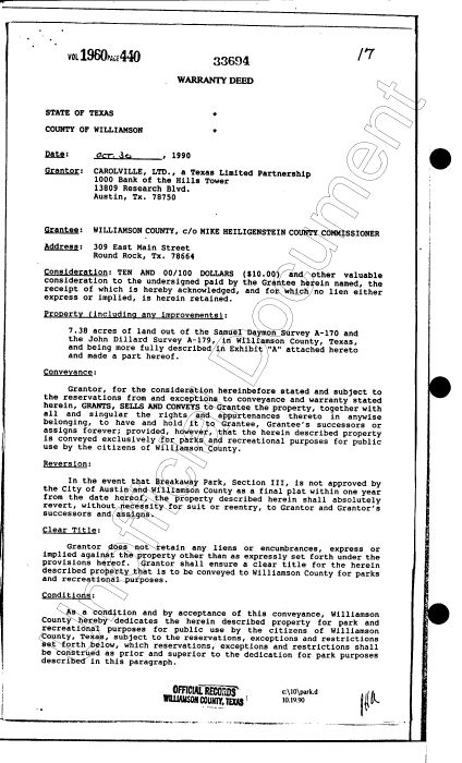
Warranty Deed, Park Land Acceptance, and the Commissioners Court Vote (1990)

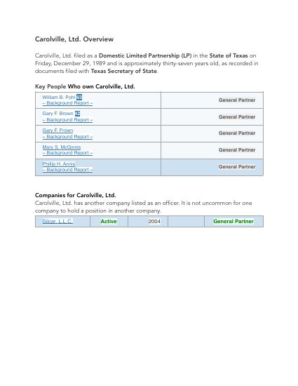
Carolville, Ltd. conveys 7.38 acres to the County "exclusively for parks and recreational purposes"; County Judge Don Wilson signs a Park Land Acceptance; the Commissioners Court votes 4–1 to accept the deed.

Why it matters: The founding record: the park-use restriction, the County's own dedication language, the Judge's signed acceptance, and the Court's vote — the "proper official action" the County's 2026 agreement says never happened.
PDF · 6 pages · 0.6 MBSource W13 + N01Open ↗

February 1991 – March 1995

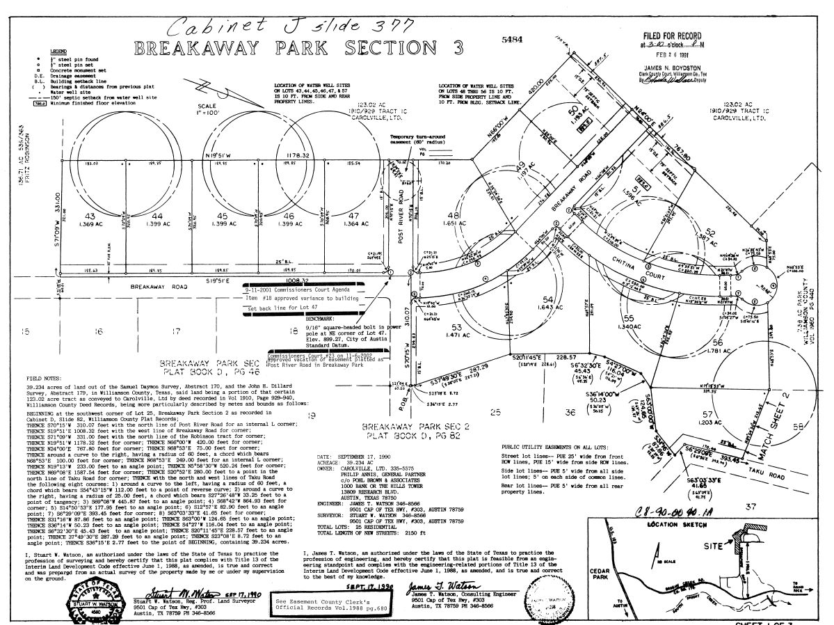
The Three Recorded Plats (1991, 1994, 1995)

Three subdivision plats approved by Williamson County — and, for Section 3, by the City of Austin — each stating that the parkland requirement was satisfied by this tract and that Williamson County owns it.

Why it matters: Three times over five years, the County affirmed on the public record that it is "the owner of this approved parkland tract." The Section 3 plat also shows the deed's one-year condition was met.

PDF · 10 pages · 2.2 MBSource H20 + H18 + N14Open ↗

April 1990 – January 1991

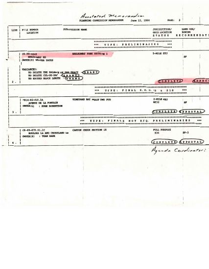
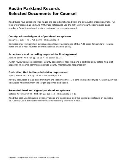
City of Austin Parkland Review: Key Records (1990–1991)

Austin's parkland reviewer required the deed, County acceptance, and recording before the plat could be approved — and Commissioner Heiligenstein's letter confirms the County "received and accepted" the land as park land.

Why it matters: Shows the park was a legal requirement of the subdivision, not a gift, and that the County told the City of Austin in writing that it had accepted the land.

PDF · 11 pages · 6.7 MBSource N15Open ↗

The rest of the record

Chapter 2 · 2018 – 2026

How the County put it up for sale

Closed sessions, a broker, title work, an easement release, private negotiation, a vote on “certain property,” and the agreement it approved — from the County’s own files.

Start here

Signed February 13 (developer) and February 25, 2026 (County)

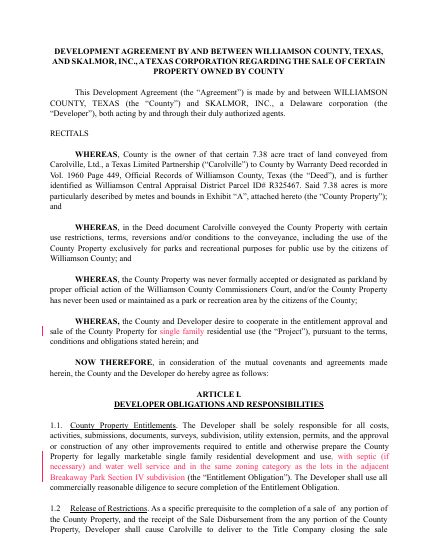
Development Agreement Between Williamson County and Skalmor, Inc. (Executed)

The contract to entitle and sell the park as residential lots: the developer prepares the subdivision, the County lists the land, and net proceeds are split 55% developer / 45% County.

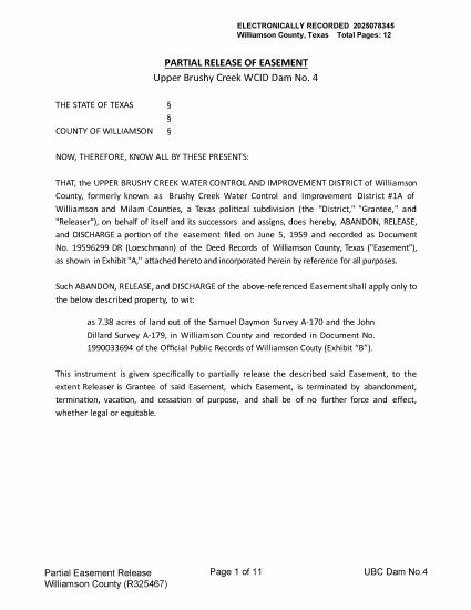
Why it matters: Recites that the land "was never formally accepted or designated as parkland" and requires Carolville — the 1990 grantor — to sign a release of the park restrictions (Exhibit B). It cites the deed at "Page 449"; the deed is at Page 440.

PDF · 25 pages · 1.4 MBSource H24Open ↗

February 24, 2026

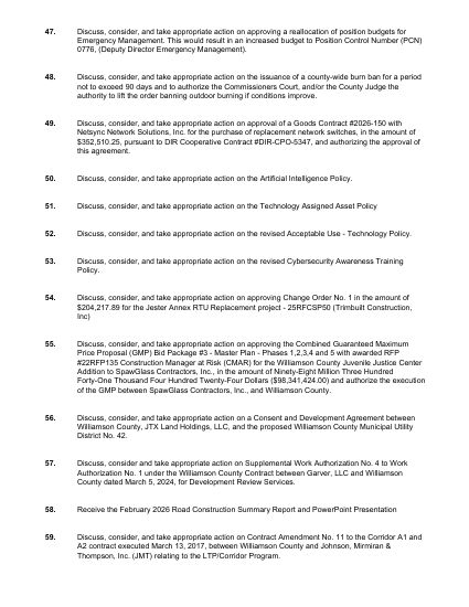
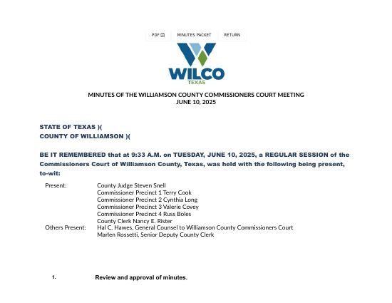
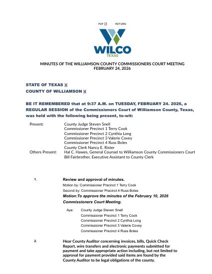
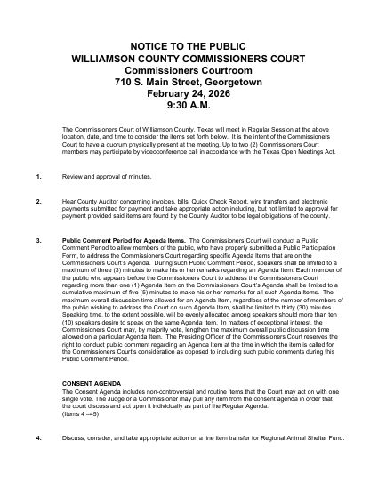
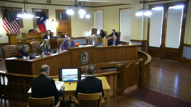
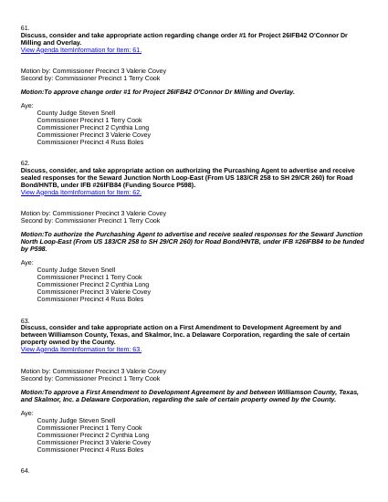
Item 71: What the Public Saw (February 24, 2026)

The agenda listing for Items 56 and 71 (pp. 1–2); Item 56's cover sheet with its full agreement attached (pp. 3–6); Item 71's cover sheet with nothing attached (pp. 7–8); and the minutes recording the 5–0 vote (p. 9).

Why it matters: Two development agreements on one agenda. One attached the contract and named the parties and the land. The other said "certain property owned by the County." This is everything a resident could have learned before the vote.

PDF · 9 pages · 0.3 MBSource H30 + W19 (extract)Open ↗

Signed August 24 (developer) and September 3, 2026 (County)

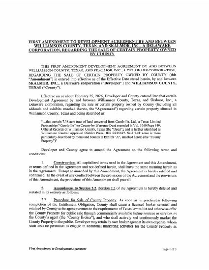
First Amendment to the Development Agreement (September 3, 2026)

Replaces Section 2.2: removes the $4-per-square-foot minimum price and requires the County and developer to mutually agree on any offer. The 55/45 split remains.

Why it matters: Signed by the County Judge on September 3, 2026. The County is still actively pursuing the sale.

PDF · 4 pages · 1.6 MBSource N08Open ↗

The rest of the record

January 2020

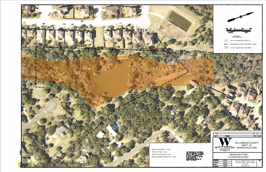
County Floodplain Exhibit (January 2020)

The County's own map of the tract, labeled: "AREA OF PROPERTY = 7.4 AC · AREA OF POND = 1.2 AC · AREA OF FLOODPLAIN = 4 AC · AREA OUTSIDE FLOODPLAIN = 3.4 AC," with the 100-year floodplain (Atlas 14) shaded.

PDF · 1 page · 4.2 MBSource W11Open ↗

June 27 – July 24, 2025

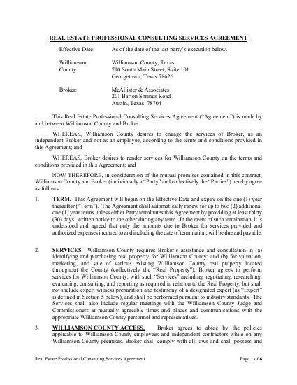
Broker Agreement and Comparable Sales (June–July 2025)

The County retains McAllister & Associates on a 4.5% commission to value, market, and sell County property. Three weeks later the broker prices nearby residential land at $6.09 to $13.56 per square foot.

PDF · 7 pages · 0.2 MBSource H23 + W25Open ↗

Chapter 3 · April 2026

How the neighborhood found out

The letter left on doorsteps, and the County emails that produced it.

Start here

October 2025 – April 25, 2026

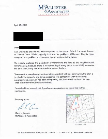
The Letter Residents Received — and the County Emails Behind It

The broker's letter announcing that the County "never accepted" the land as parkland and plans three residential lots — and the emails showing Commissioner Long wrote that sentence herself four days earlier.

Why it matters: This is how the neighborhood found out, two months after the vote. The County's own emails show who drafted the letter, that survey crews were sent before anyone was told, and that the Commissioner asked the broker to drop the County's outside counsel from the thread.

PDF · 12 pages · 1.4 MBSource H10 + W16Open ↗

Source IDs (H, N, W) match the index used in the records handed to counsel, so citations here can be checked against that set. Several entries combine related instruments into one file; page ranges are noted in each entry. Large scanned files have been compressed for the web; originals are available on request.